Satellite imagerySingle source
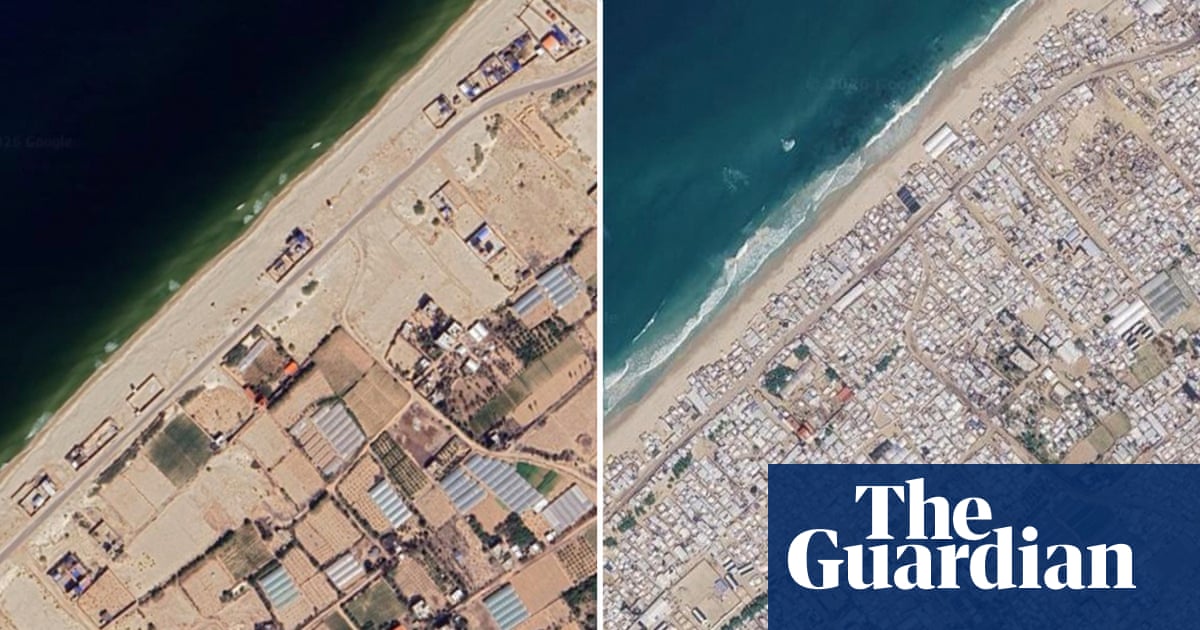
Updated Google Maps imagery shows the scale of devastation in Gaza
Updated Google Maps imagery taken in June shows the scale of destruction in Gaza after three years of war. UNRWA says about 82% of structures have been damaged, while more than 2.1 million displaced people live in tents and temporary shelters.
- Updated Google Maps imagery shows destroyed districts, the damaged port and tented camps across Gaza.
- About 82% of Gaza’s structures—roughly 200,000 buildings—have been damaged.
1 sourceTrust: Single source